Rorysee | a month ago | 2 comments | 5 likes | 161 views
songbaojin, Filip, irina1208 and 2 others like this!
The 3D land map is extruded in Blender from GIS satellite data.
Video from my drone.
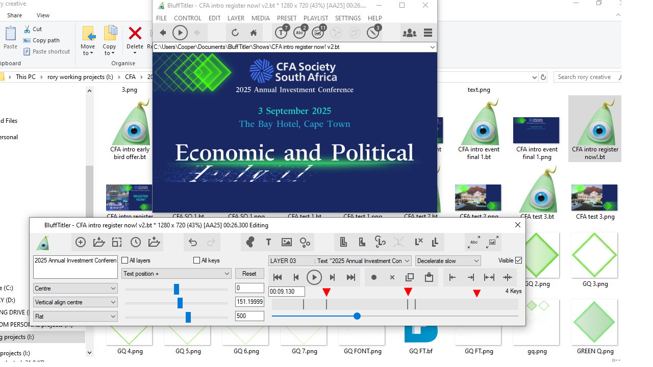
Hopefully moving forward in BT we can have markers and select all keys and move the key selection group. Also Video play and pause button for video texture.


