
 michiel | 9 months ago | 13 comments | 11 likes | 721 views
songbaojin, xuelianghua, jian dan and 8 others like this!
The Mercator projection renders countries close to the poles larger than they actually are. And countries close to the equator appear smaller:
nytimes.com...
This animation shows what happens when you rotate the earth. Watch how Greenland becomes smaller and Africa becomes bigger.
Realize that every frame in this video is a valid Mercator projection. As valid as the one we are used to.
EARTH TEXTURE
EFFECT
Apply the Filters\Spheremap effect to a picture of the earth, set the FX PROJECTION prop to 1 and animate the FX ROTATION prop.
FONT
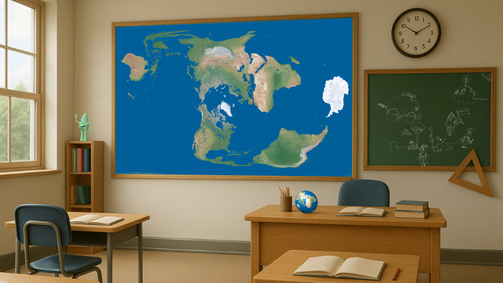
CLASSROOM
The background picture has been made by ChatGPT. The stereotypical classroom is a nice contrast to the non-stereotypical world map!
AUDIO
Ice Cream by Joey Pecoraro from the YouTube audio library
Download media files (2.2 MB)


It's a conspiracy🤣 Nice made.
Filip, 9 months ago
Great technique, the simple pictures are beautiful, thanks for the great tutorial.

liuyongcai, 9 months ago
Lightads, that's true.
And many other variants are possible. Looking forward to see your version!
michiel, 9 months ago
aha! Thank you michel, I missed this fx application function until now. The Mercator map projection failed to address the issues of, time, distance, speed, and grid positioning or direction as one unit. the Azimuth Equidistance map was created to consolidate all these elements as one unit. it it used to day by Governments etc. to consolidate time on multiple locations at one time with one watch. it works well.
Rorysee, 9 months ago
Thank you all!
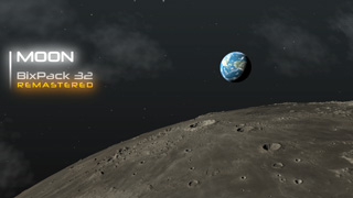
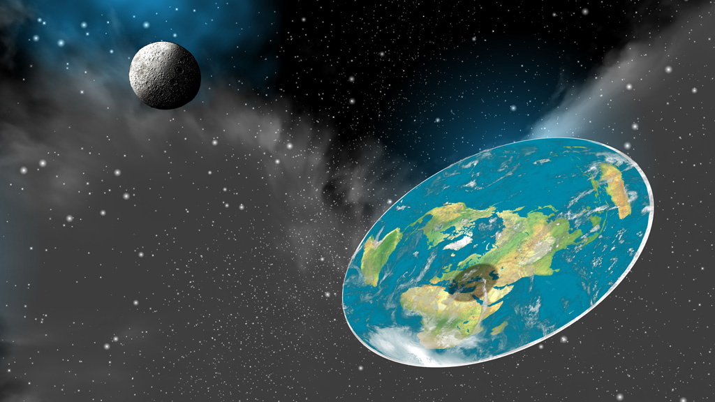
Another application of the Filters\Spheremap effect is this flat Earth. The template comes with BixPack 32:
michiel, 9 months ago
Rorysee, not sure if the azimuthal equidistant projection equals the sphere map projection, but they look very similar!
michiel, 9 months ago
yes pretty much because they are all based on the same map grid reference. Both are flat, planar surfaces like any 2-dimensional map. the issues are in translation to a 3D environment, As you well know. You have done an amazing Job with BluffTitler. impressive. so thank you very much. so the issues remain in 3D environment on the globe, Google Earth measures Africa wide part 7 700 km compared to Russia from Black Sea to Vietnam is only 5 400 km.
Rorysee, 9 months ago

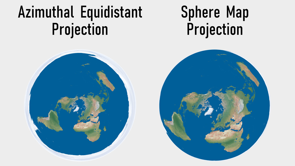
Rorysee, here's a comparison between the Azimuthal equidistant and the sphere map projections. The Filters\Spheremap effect will be updated to support Azimuthal as well.
Note that Azimuthal is used in the UN logo:
michiel, 9 months ago
Aha thanks michiel. looking forward for the update. much appreciated
Rorysee, 9 months ago
In version 16.7.7.1, the Filters\Spheremap effect can now render an Azimuthal map when the FX PROJECTION prop is set to 2.
michiel, 8 months ago
Comment to this article
More by michiel


About michiel
Michiel den Outer is the founder and lead coder of Outerspace Software. He lives in Rotterdam, the Netherlands.
If he isn't busy improving BluffTitler, he is playing the piano or rides the Dutch dikes on his bikes.
864 articles 4.5M views
Contact michiel by using the comment form on this page or at info@outerspace-software.com